What are the best hiking trails near Murree and Bhurban?
The best hiking trails near Murree, accessible from Bhurban, are: the Pipeline Track in Ayubia National Park (8km, 3 hours, Ayubia to Nathia Gali — the finest accessible forest walk in the region), the Miranjani Summit Trail from Nathia Gali (6–7km one way, 2.5–3 hours to summit at 9,300 feet), the forest walks from Himalaya Villas' property gate (2–4km, low difficulty, no transport), and the Nathia Gali Governor's House loop (3km, 1 hour, easy). All are within 45 minutes of Bhurban.
Hiking Near Murree — Best Trails 2026 from Bhurban
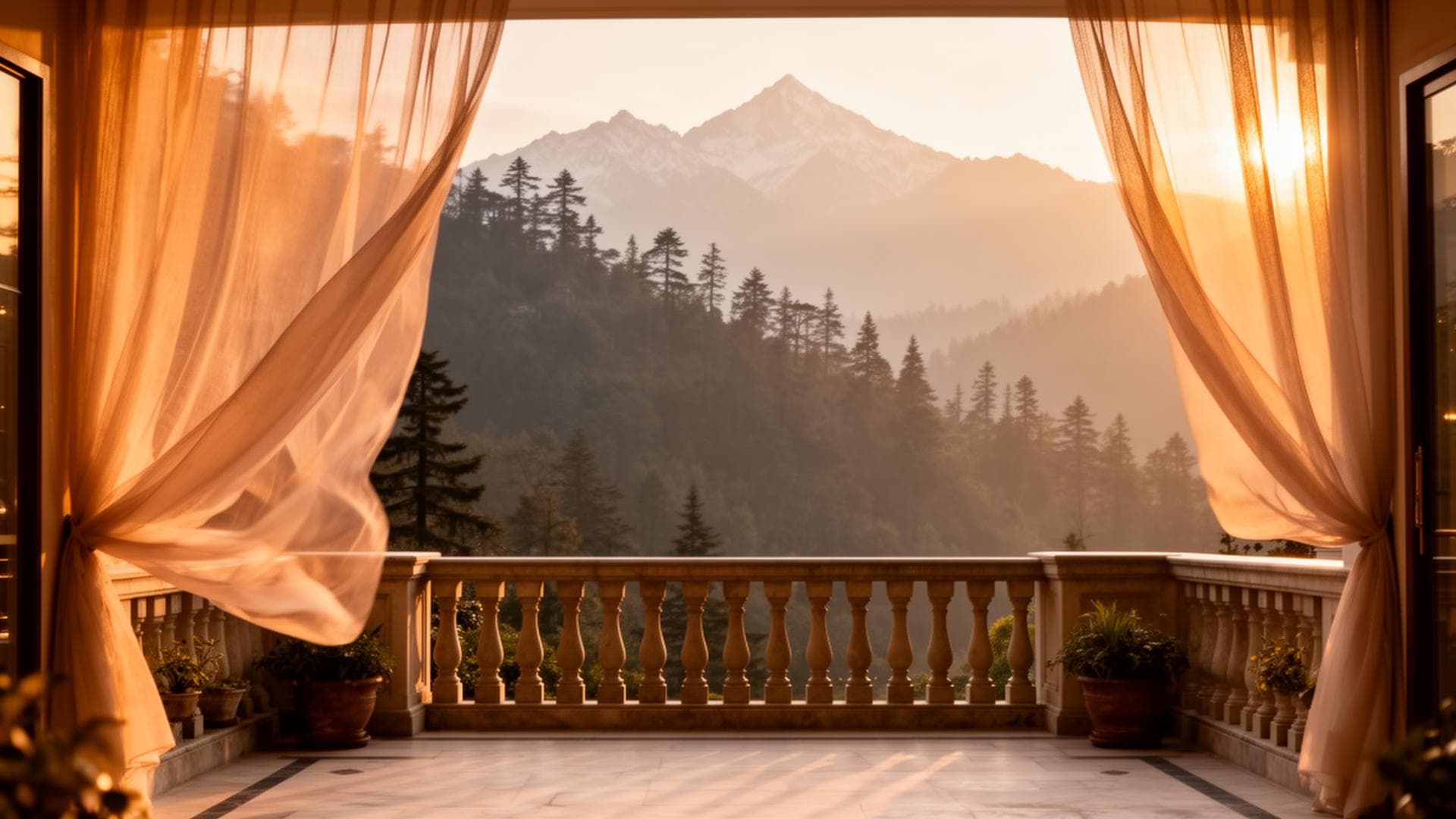
The Murree hills are Pakistan's most accessible trekking terrain from Islamabad and Rawalpindi. No permits, no high-altitude acclimatisation, no technical equipment — just forest trails at 6,800–9,300 feet, intact sub-alpine ecosystem, and distances compatible with a morning excursion from Bhurban. This guide covers every significant hiking route in the region.
What is the Pipeline Track difficulty level?
The Pipeline Track in Ayubia National Park is rated easy to moderate. The trail is 8km long and takes 2.5–3 hours at a comfortable walking pace. It follows a colonial-era water pipeline route along the hillside at approximately 7,800–8,000 feet elevation, with minimal uphill gradient throughout. The surface is well-packed earth, generally maintained. Suitable for adults and children aged 7 and above who are comfortable walking for 3 hours. Good walking shoes are sufficient — hiking boots are not required for normal conditions.
Trail 1: The Pipeline Track — Ayubia to Nathia Gali
Trail 2: Miranjani Summit Trail
The Pipeline Track is the standard recommendation for guests at Himalaya Villas who want a half-day forest walk. The return logistics: drive from Bhurban to Ayubia (40 min), walk the track (2.5–3 hours), have tea in Nathia Gali, driver picks up from the village. The total excursion takes 5–6 hours with the drive included. Himalaya Villas can arrange the driver pickup logistics — WhatsApp the property before departure.
Detail | Miranjani Trail
Start: Nathia Gali village (30km from Bhurban, 45 min)
Summit: Miranjani peak — 9,300 feet
Distance: 6–7km one way
Duration: 2.5–3 hours to summit; 2 hours return
Elevation gain: ~1,300 feet from Nathia Gali (8,000 feet) to summit
Difficulty: Moderate to challenging
Best season: April–May and September–October
Key note: Start early — summit by 11am to return in daylight comfortably
How hard is the Miranjani trek from Nathia Gali?
The Miranjani summit trail from Nathia Gali to the 9,300-foot summit is rated moderate to challenging. The trailhead begins in Nathia Gali village; the route climbs approximately 1,300 vertical feet over 6–7km, taking 2.5–3 hours uphill at a steady pace. The trail is well-marked with some steep sections above 8,500 feet. Good hiking shoes are recommended; trekking poles are helpful on the steep sections. The summit is forested and has a small rest area. Best attempted in spring (April–May) and autumn (September–October). Guides are available in Nathia Gali village for first-time visitors.
Trail 3: Forest Walks from Himalaya Villas
Trail 4: Nathia Gali Governor's House Loop
Trail 5: Changla Gali Forest Paths
The smaller hill station of Changla Gali (en route to Ayubia from Bhurban) has informal forest paths extending in several directions from the village. Less structured than the Pipeline Track but quiet and forested — good for guests who stop en route to Ayubia and want a 30-minute forest walk at 8,000 feet.
Hiking Preparation — What to Bring
Footwear: comfortable walking shoes for the Pipeline Track and Governor's House loop. Hiking boots or trail shoes for the Miranjani summit. No sandals or dress shoes for any trail.
Water: 1.5–2 litres per person for the Pipeline Track. 2–2.5 litres for the Miranjani summit. Water is not available on the trails themselves.
Clothing: layer system — base layer, mid layer (fleece or light jacket), outer layer (rain jacket for summer monsoon risk). The temperature on the trails is 5–8°C cooler than in Bhurban due to elevation and forest shade.
Snacks: the trails have no food stalls. Bring energy snacks for the Pipeline Track and summit trail. Himalaya Villas can prepare packed breakfasts for early departures.
Maps and guides: the Pipeline Track is well-marked but a guide is recommended for the Miranjani summit for first-time visitors. Local guides are available in Nathia Gali village.
Frequently Asked Questions
What is the easiest hike near Murree for beginners?
The forest walks from Himalaya Villas' property gate are the easiest — no drive, flat terrain, 45 minutes to 2 hours, suitable for all fitness levels. The Governor's House loop in Nathia Gali is the easiest structured trail. The Pipeline Track is the most rewarding for beginners who are comfortable walking for 3 hours.
Can I hike near Murree in summer?
Yes. Summer hiking (June–August) on the Pipeline Track and forest walks is comfortable — the forest canopy and elevation keep temperatures at 16–24°C even on warm summer days. Start early (7am) before the afternoon heat and any monsoon showers. The Miranjani summit is best in cooler seasons (spring and autumn).
Do I need a guide for hiking near Murree?
The Pipeline Track and Governor's House loop do not require a guide — both are well-marked and heavily used trails. The Miranjani summit is recommended with a guide for first-time visitors — guides are available in Nathia Gali village. The forest walks from Himalaya Villas require no guide.
How to Book
Base Your Murree Hiking Trip at Himalaya Villas
Contact Himalaya Villas & Resorts directly for availability, pricing, and exclusive-use bookings.
Book Your StayDirect bookings receive the best available rate and priority response.